Tirana, Albania
17 March, 2016
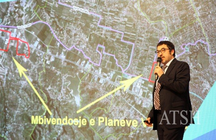
Albania’s first unique Digital Map has been presented to 61 mayors on Wednesday, March 16th, in a meeting organized by the Minister of Innovation, Milena Harito, and the State Minister for Local Matters, Bledi Cuci, in Tirana.
The digital map contains information about the administrative borders after the new territorial division of the territory of Albania which are presented in a GIS map with clear geographic coordinates. It also contains information about 43 cartographic layers, aerial photos and images of the entire territory of Albania, a topographic map with information about the country’s relief, the addresses system, the maps of businesses and protected areas, ect.

According to the Minister of Innovation, Harito, the map is a powerful instrument for municipalities and institutions which also complies with the “INSPIRE” EU directive.
The presentation of the finalized project was attended by the Albanian vice Prime Minister, Niko Peleshi, and the Norwegian Ambassador to Tirana, Jan Braathu. The creation of the digital map has been supported by the Norwegian government with financial and technical help for the Albanian National Authority of Geo Spatial Information.
All the data provided by the Digital Map are public and they can be seen in the map’s official website.
News source: ATA


Leave a Reply
You must be logged in to post a comment.